
Tulpar: Your flight. No Wi‑Fi needed.
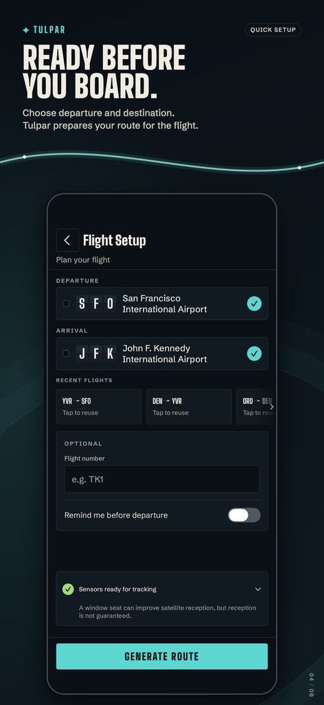
Set your departure and destination before takeoff. Tulpar prepares the route and map while you're online, then shows your approximate position from your iPhone's GPS once you're in the air, fully offline.
 Track 3 flights free. Pro is a one-time purchase.
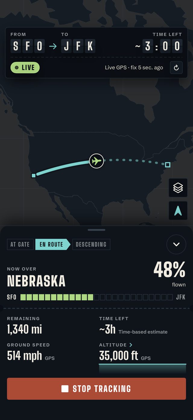
Always clear about what it knows
Every reading says where it comes from, so you always know when Tulpar is estimating. When GPS drops for a while, it keeps estimating your progress.
Position from a current GPS fix.
A GPS fix, but a poor one.
Dead-reckoned from your last GPS fix.
Not current. Shows when the last fix was.
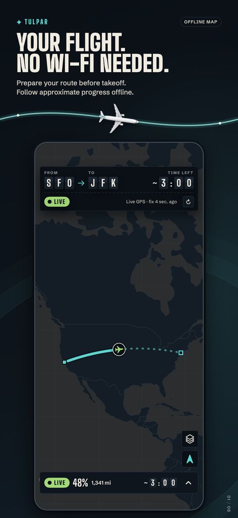
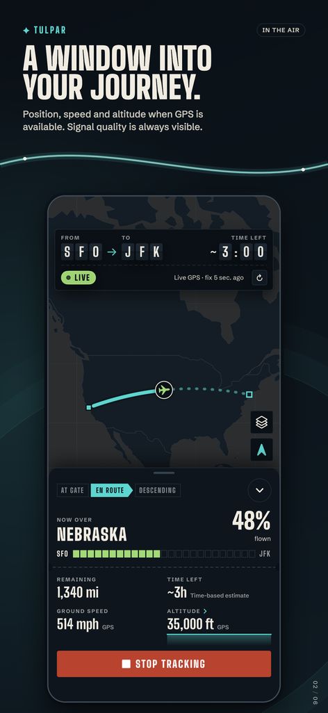
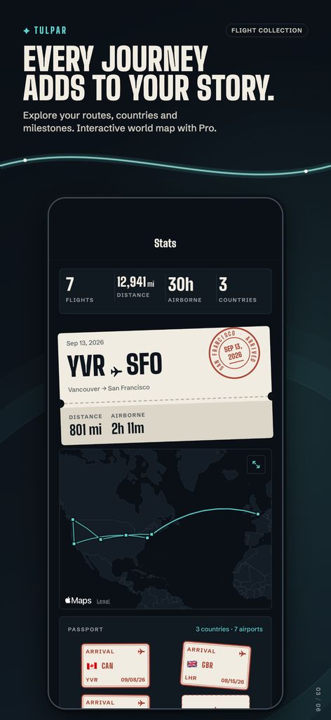
In the air and after landing
- Your position on the route, with progress, distance left, time left, speed and altitude
- A night design inspired by airport departure boards
- Keeps estimating your progress when GPS drops for a while
- A Lock Screen Live Activity and Dynamic Island (Pro), plus a Home Screen widget
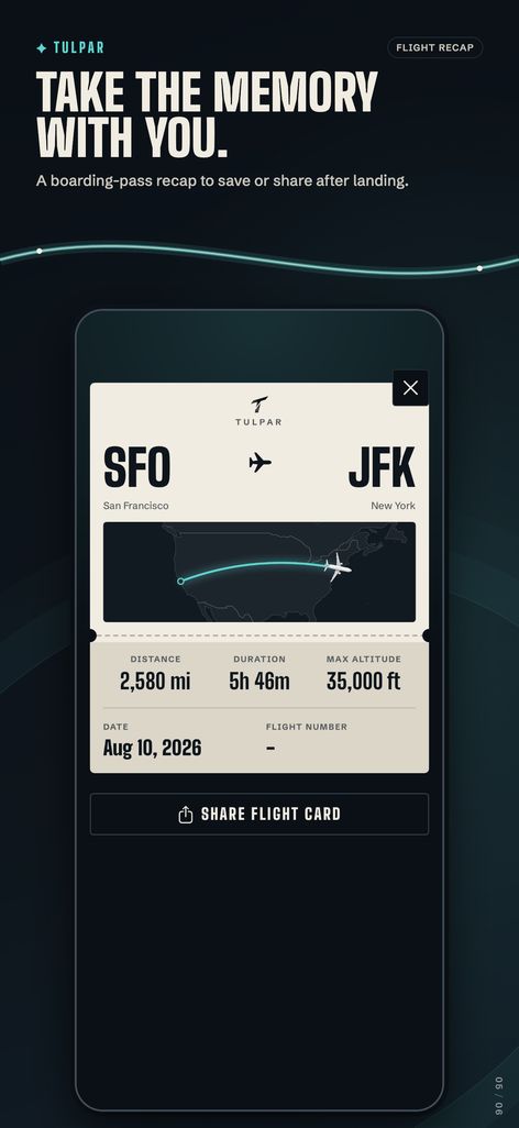
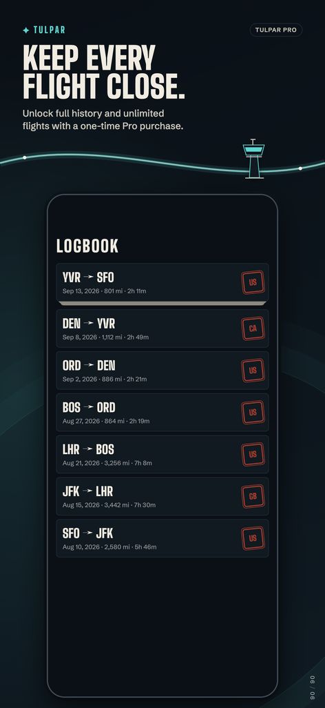
- A flight log with distance, duration, peak altitude and the route you flew
- A shareable boarding-pass card for every flight
- Stats with passport stamps, milestones and a Year in the air poster
Three flights free. Pro once, for good.
- Unlimited flights
- Live flight on your Lock Screen and Dynamic Island
- Full flight history
- Live altitude graph
- Personal world map of all your routes
- Custom map styles: satellite, tactical and Tulpar
- Multi-leg trips
- Every future Pro feature
subscription
Try it first: fly a Berlin–Istanbul sample flight from Home. It doesn't count toward your free flights.
Tulpar is for passenger situational awareness and recreational use only. It is not a certified navigation, aircraft operations or emergency tool. GPS reception depends on your seat, the aircraft and your device; a window seat usually works best.